
Whitehall ZIP Code Directory Coverage
Whitehall's principal verified postal geography is ZIP 43213. The official city contact address and the Mayor's Court use that code. That is enough to identify the principal ZIP in official city sources, but it is not evidence that every address associated with the city, a nearby postal label, or a tax parcel shares the same delivery ZIP. The authoritative check for any individual address is the USPS postal lookup.
| ZIP | Areas covered | Post office or delivery basis | Research note |
|---|---|---|---|
| 43213 | Whitehall City Hall and Mayor's Court address at 360 S. Yearling Road, plus the city's verified postal address | Confirm each delivery address through the USPS postal lookup | Principal verified Whitehall ZIP. A postal ZIP does not prove city limits. |
| Research gap: no second ZIP verified | No other street-delivery or PO-box ZIP was established from official sources | Consult USPS for the individual address | Do not infer coverage from nearby Columbus or county labels. |
The gap is important. Franklin County mapping and tax data show nearby postal and parcel patterns, but no official source reviewed here established a second distinct Whitehall street-delivery ZIP, a Whitehall PO-box-only ZIP, a station assignment, or a ZIP realignment year. A careful postal directory should leave that distinction visible instead of filling the table with guesses.
Whitehall ZIP Code Directory at 43213
The City Hall and Mayor's Court address provides the documented 43213 example. It demonstrates a postal address used by the city, not a boundary rule for every location that might be described as Whitehall. USPS is the postal authority for delivery confirmation. A county or city GIS layer serves a different purpose: it identifies municipal or parcel geography. The Auditor records a particular property account. Use all three when the question requires all three answers.
The USPS postal lookup is the source for the address-verification route.
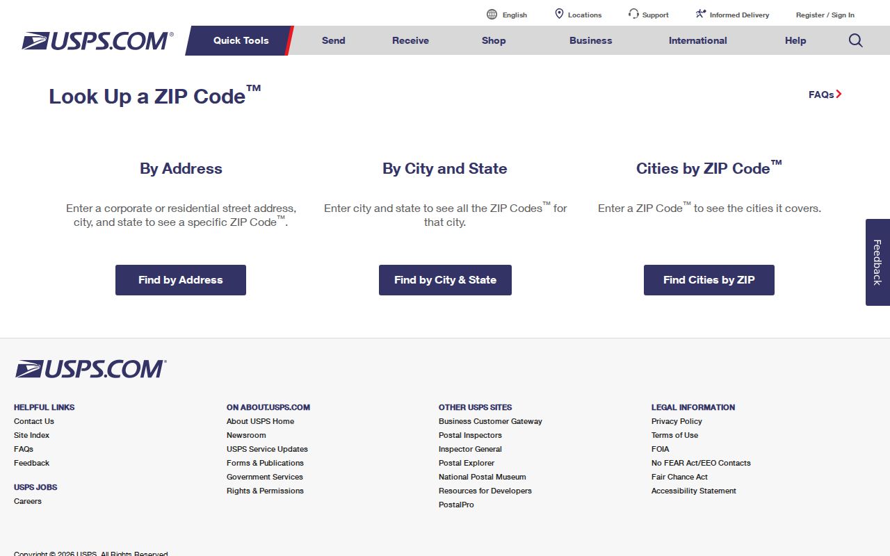
This postal lookup is the first check for a delivery address before property or city-boundary records are compared.
Verify Whitehall Postal Delivery First
ZIP-capable tools do not all perform the same search. USPS converts an entered address into postal-delivery information. The Auditor's captured search modes include address, parcel, map, intersection, and owner routes, but no verified ZIP field. Ohio's statewide voter search asks for first name, last name, and county, not ZIP. The Franklin County Election Vault offers downloads rather than a ZIP query. This inventory keeps a ZIP search from being mistaken for a general resident finder.
| Portal or field | ZIP-related mode | What it can return | Whitehall limit |
|---|---|---|---|
| USPS postal lookup | Address-to-ZIP verification | Postal ZIP and delivery information for the submitted address | A live result was not retained in the research capture; submit the exact address. |
| Ohio DRC Offender Search, ZIP field | ZIP text field | For APA Supervision or Violators at Large, a last recorded residential ZIP | It is not a current-location or general Whitehall postal result. |
| Auditor Property Search | No verified ZIP field captured | Address, parcel, map, and property results | Use a validated address, not an assumed ZIP-wide filter. |
| Ohio Voter Search | No ZIP field | Registration, precinct, and polling route | Requires first name, last name, and county. |
| Election Vault | Download catalog, not a ZIP query | Whitehall, district, and street-portion data files | File columns were not inspected in this research. |
The city GIS interface likewise has parcel ID, owner-name, site-address, and world-geocoding tabs, not a documented ZIP tab. After USPS verifies the address, that interface can help check a selected parcel's city and tax context.
Whitehall ZIP Code Directory Search Method
A postal ZIP can narrow an address question, but Whitehall has no verified official ZIP-wide household search. Work from a confirmed delivery address and pick the custodian that holds the record sought. The following sequence preserves the distinction between mail service, property jurisdiction, and a name-based public record.
- Submit the full delivery address to USPS and retain the postal ZIP returned for that address.
- Enter the validated address in the Franklin County Auditor property system to identify the parcel and owner-of-record field.
- Use the city or county GIS boundary and parcel information to check municipal setting rather than relying on the postal-city name.
- If a property transfer is the question, carry the parcel or legal-description clues to the Franklin County Recorder's document search.
- If a person needs to check their voter registration, use the name-and-county voter tool or contact the Board of Elections. Neither route is a ZIP browse list.
Once a valid ZIP leads to a particular address, a street-level parcel and deed trail may be appropriate. The Whitehall street directory has that address-to-parcel workflow. It should not be reversed into an assumption that every person near a ZIP label is connected to an address.
Note: A ZIP can confirm postal delivery for one submitted address, but it cannot establish city jurisdiction, property ownership, or a complete resident set by itself.
Whitehall Postal Parcel Geography
The Auditor's property system is best used after the ZIP is verified. Its visible routes include Address, Parcel ID, Subdivision and Condo, Advanced Search, Map Search, Intersection Search, Parcel Viewer, Parcel History Sheets, and reports. A result supplies parcel ID, address, Owner 1, and Owner 2. The system is a real-property inventory, and its own disclaimer directs users to verify with the primary source. An owner field is not a household record.
The Franklin County Auditor search instructions document the property and map-search routes used after address verification.

The Auditor guidance supports a parcel-by-address check, which is different from a ZIP-wide search or a claim about everyone receiving mail in a postal zone.
Whitehall Postal Boundaries and City Limits
Postal labels and municipal boundaries overlap imperfectly in Whitehall. Franklin County ZIP-code and municipal-boundary layers use COLUMBUS as the postal-city label for the 43213, 43219, and 43227 polygons. That label does not decide whether a parcel lies in Whitehall. Municipal jurisdiction comes from city or county boundary and parcel information, while USPS determines delivery labeling for the address actually submitted.
A county parcel-layer query limited to the CITY OF WHITEHALL tax district returned 5,159 parcels with ZIP field 43213, 445 with 43227, three with 43219, and 350 with a null ZIP. These counts are a property-tax proxy, not USPS delivery coverage, not named post offices, and not proof that every parcel receives mail under that code. They show why a postal directory must separate postal geography from city limits.
The Whitehall GIS application can display an individual parcel's tax district, school district, land use, site address, owner fields, legal-description fields, and Auditor-detail link after an address search.
Whitehall DRC ZIP Search Limits
The Ohio Department of Rehabilitation and Correction search is a narrow comparison to USPS, not a ZIP resident directory. Its ZIP field applies to APA Supervision or Violators at Large and produces a last recorded residential ZIP. The portal cautions that the address may be stale and that an at-large person's known location may not be in its records. It covers people in its stated correctional populations, not jail custody, municipal cases, or an ordinary current-address question.
For current custody information, Franklin County Sheriff Inmate Information is a separate route. For a Whitehall case, the Mayor's Court clerk or the applicable county court is the custodian. Match the question to the agency instead of using a status-specific ZIP field as a substitute for a court or postal record.
The Ohio DRC Offender Search is the source for the limited ZIP filter described here.
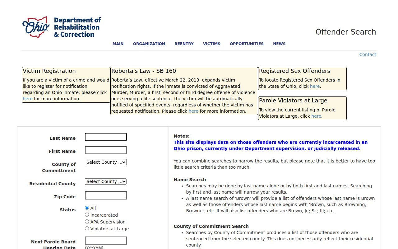
The search screen illustrates a state system with its own stated scope, not a way to determine who currently lives within a Whitehall postal zone.
Whitehall ZIP Election Geography
Election geography is another system that should not be merged with ZIP geography. Franklin County's Election Vault lists a CITY_OR_VILLAGE_WHITEHALL.TXT file, a Whitehall school-district file, countywide voter and absentee files, and a street-portion-and-districts CSV. It is a public download catalog, not a conventional ZIP query. Read the displayed file date and the file documentation before relying on a field or describing a current data set.
The statewide voter page is designed to check registration, precinct, and polling information through first name, last name, and county. Protected records and statutory exclusions remain in force. Board staff are the fallback for corrections, voter-history questions, or an unavailable lookup. This gives a geographic record route without treating a ZIP as a voter-list filter.
The Franklin County Board of Elections is the source for election services, maps, voter tools, and public-file access.
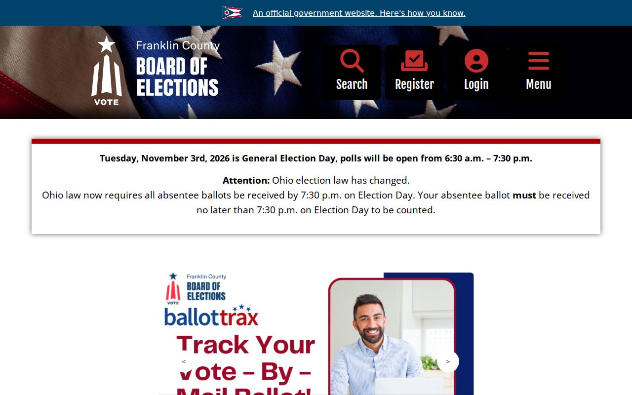
The Board's public entry point is the appropriate support channel when a voter or district question cannot be answered by the postal ZIP alone.
Whitehall ZIPs Before Incorporation
A postal ZIP is a modern tool, so it does not belong at the start of early property or family-history work. Whitehall's land history reaches back to Truro Township, and the village incorporated in 1947. Earlier deeds, tax records, census schedules, and directories can use township, tract, National Road, or older local context instead of the modern city name. A failed ZIP search in historic material is expected, not evidence that an address did not exist.
For an older parcel, begin with the legal description and the Recorder's historical deed-index route, which covers 1804 through 1913. Then use the relevant period and geographic name. The City history and Columbus Metropolitan Library's local-history materials can help place a subdivision or street clue without projecting a current postal zone backward in time.
Note: Historic records should be searched with the location names used at the time, especially Truro Township and early Whitehall land references.
Whitehall Postal Record Definitions
These terms keep the Whitehall postal directory focused on what postal and property records actually identify. They also explain why an address can be valid for delivery while its city label, parcel jurisdiction, and historical context call for separate confirmation.
- ZIP Code
- A postal-delivery geography used by USPS. It is not a municipal boundary or proof of property ownership.
- ZIP+4
- An added postal delivery refinement for an address or delivery segment, not a separate municipality.
- PO-box ZIP
- A ZIP used for post-office boxes. No Whitehall PO-box-only ZIP was verified in the reviewed sources.
- Unique ZIP
- A ZIP assigned for a specific institution or large recipient. No Whitehall unique ZIP was verified in the reviewed sources.
- Carrier route
- A postal delivery grouping. It is not a city-limit boundary or a public household list.
Public access also has limits. Ohio Safe at Home participants and other protected records cannot be used to reconstruct a confidential address. Use postal, parcel, voter, and court records only for lawful personal, civic, historical, or family questions, and never to stalk, harass, threaten, or evade a safety protection.