
Whitehall Neighbors Around a Block
Whitehall neighbors are a parcel question first. The Franklin County Auditor’s public property system can connect an address to a parcel result and owner-of-record fields. The county’s Parcel Viewer provides the more precise spatial method. Recorder plats and deeds clarify a legal-property relationship, while the Board of Elections supplies election geography and public file routes under state law. Library and historical-society sources are useful for a historic block, not present residence. Each route has a different boundary, which is why the results should not be blended into a list of people.
| Source | What It Shows About a Block | Access |
|---|---|---|
| Auditor parcel and map system | Parcel outlines, IDs, and owner-of-record results for selected parcels. | Public property search and map routes. |
| Recorder plat and deed records | Subdivision, lot, and historic legal-property relationship. | Cloud/legacy index, Recorder counter, and request channels. |
| Board of Elections maps and Whitehall files | Election geography, ward maps, and public download routes. | Board maps, Election Vault, and counter assistance. |
| Whitehall Mayor’s Court or code route | Public city case route for a known ordinance or code matter. | Official court link, clerk, and city records channel. |
| CML and Whitehall Historical Society | Historic neighborhood and household context. | Library collections, appointments, and local-history inquiry. |
Owners of record may use a contact address that differs from the parcel’s site address. A parcel relationship also does not establish who occupies a property. The result is a property-record finding, not a confirmed list of neighbors.
The Whitehall community partners page identifies public community pathways that can add context without claiming a private roster.
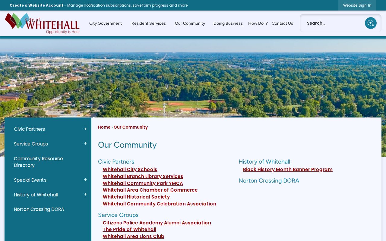
Named civic organizations are useful contact routes, but the city page does not turn them into a directory of individual participants.
Whitehall Neighbors with Parcel Viewer
The documented Franklin County Parcel Viewer method is more exact than a broad map glance. Its Search Parcel Data tool works By Shape, By Value, or By Spatial. First locate the starting parcel with shape or value. In the spatial route, enter a distance, use Apply Buffer, then choose parcels entirely within or intersecting the buffer. Identify can return a linked property-detail record, and results can export to CSV. Road Centerlines, ParcelLabels, Administrative Areas, aerial or basemap choices, measurement, drawing, print/export, and sharing tools help keep the block boundary visible.
- Search the starting Whitehall address in the Auditor system and record the parcel ID and site address.
- Open the county Parcel Viewer, locate that parcel by shape or value, and confirm the selected boundary.
- For a tight block question, identify touching parcels; for a defined radius, enter a distance in By Spatial and select the documented inside or intersecting buffer option.
- Open only the relevant adjacent parcel details and record parcel IDs plus owner-of-record fields.
- Use a Recorder plat or deed reference when a boundary or subdivision relationship remains unclear.
The process stays focused on the immediate block. A full named-street chain belongs with the Whitehall street directory, where the address-to-deed workflow can be followed farther along a street.
Note: A CSV export records selected parcel results, not a verified list of the people who live around the selected address.
Whitehall Neighbors in City GIS
Whitehall’s own GIS parcel application is a city-specific presentation layer for block context. It has separate tabs for Parcel ID, Ownername, Site Address, and ArcGIS World Geocoding. The app returns up to six suggestions or results. After a parcel is selected, its popup can show the parcel ID linked to Auditor detail, tax district, school district, land use, site address, owner fields, legal-description fields, and a street-level photo link.
Use Site Address for the starting location and click surrounding polygons one at a time. Ownername is an alternate property-party route, not a substitute for the site search. The popup’s owner and site fields must remain distinct. A contact address in an underlying property record can differ from the physical parcel, so it cannot be restated as where an owner resides.
For a known city-held record that is not in a map popup, Whitehall’s NextRequest public-record information describes the request route. The verified online form includes Record Start Date and Record End Date pickers, which support a narrow request tied to an address, a specific record type, and a defined period.
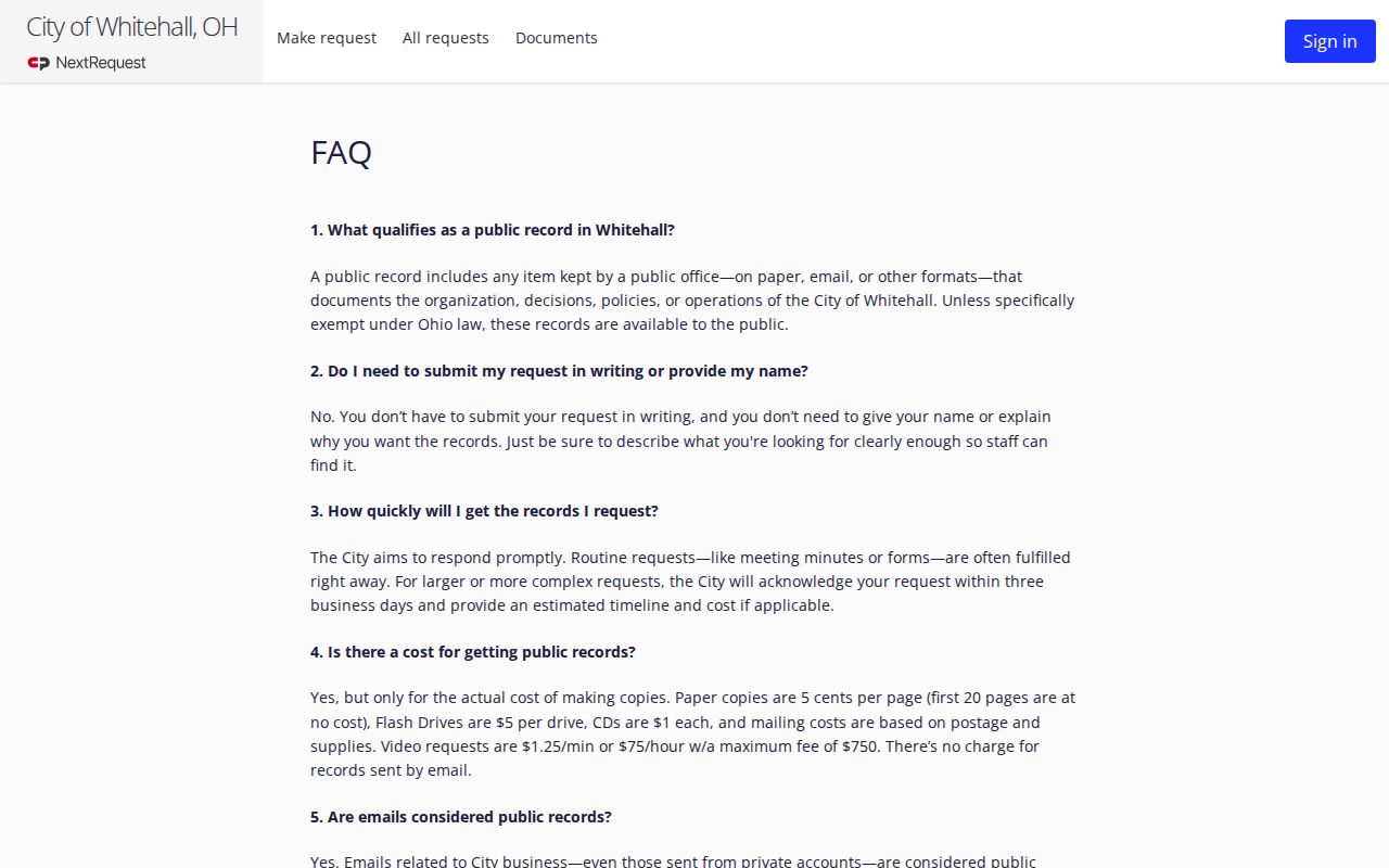
The city says a requester need not provide a name or reason, but the requested item must be clear enough for staff to locate.
Whitehall Neighbors and Election Geography
Election information can explain a block’s public geography, not create a neighborhood contact list. Ohio’s Voter Search is a name-and-county route for registration, precinct, and polling-place information. It requires first name, last name, and county, with a street-name choice only when the result flow requests that refinement. Franklin County’s Election Vault is different: it publishes downloads including CITY_OR_VILLAGE_WHITEHALL.TXT, SCHOOL_DISTRICT_WHITEHALL CSD.TXT, county voter files, absentee-related files, geography/district data, and a street-portion-and-districts CSV.
The Whitehall city/village file and ward maps should be read with their posted download date and file documentation. The Board of Elections is the best fallback for an unavailable lookup, correction, or map question. Its official office is at 1700 Morse Road in Columbus, phone 614-525-3100, with Monday-Friday hours of 8 a.m. to 5 p.m. State law provides public-record access subject to exclusions. Ballot selections are not part of this record set.
The Ohio voter-record confidentiality rule sets the legal boundary for the public voter framework.
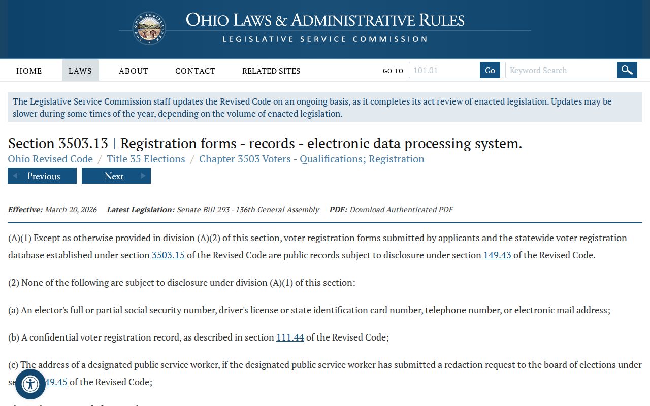
Protected voter material remains excluded, and a public file should never be used as a way to uncover a protected address.
Whitehall Neighbors Through Community Contacts
Community connections require a different approach from parcel research. Whitehall’s official community page names Whitehall City Schools, Whitehall Branch Library, the YMCA, Whitehall Area Chamber, Whitehall Historical Society, Whitehall Community Celebration Association, Citizens Police Academy Alumni Association, Pride of Whitehall, Whitehall Area Lions, and Whitehall-Bexley Rotary. These are public pathways for a focused community question. They are not an authorized roster of members, officers, households, or a private association list.
| Public contact route | Useful scope | Important limit |
|---|---|---|
| Whitehall Office/Department of Neighborhoods | Current public group contacts, resident engagement, events, grants, and information coordination. | Use the city staff directory or City Hall for current contacts; no member roster was verified. |
| Whitehall Historical Society | Focused local-history inquiry about a subdivision, school, street, historic photograph, or surname. | Its public history material gives 402 N. Hamilton Road and 614-586-5647, but no complete online collection catalog or office hours were verified. |
| CML Main Library Local History & Genealogy | Directories, maps, yearbooks, local history, and research assistance. | The Main Library is the research repository; the Whitehall Branch is a general branch. |
Whitehall created the Office/Department of Neighborhoods by ordinance in December 2025. Its remit includes engagement and coordination with community stakeholders, which makes it a sensible current contact path. No public HOA or neighborhood-association member roster was verified, and the office is not proof that the city maintains a public resident directory.
Whitehall Neighbor Blocks Through Time
Block history can explain why a parcel pattern looks different across Whitehall. The city history places early land in Truro Township, notes Whitehall’s 1947 incorporation, and describes postwar growth in English Village, Parklawn Manor, and Norton Field. Town & Country was part of that development era. Those names can guide a historic map, directory, deed, or historical-society inquiry, but they do not establish an association membership list.
For a past block, compare the parcel’s legal description with the named subdivision and then move to library directories, released census schedules, newspaper indexes, or Recorder plats as the date requires. The CML and Whitehall Historical Society routes preserve useful local context without turning historical material into a present-day neighbor claim.
Note: Postwar subdivision names are search terms for historical context, not proof of current parcel ownership or a public community roster.
Whitehall Neighbor Results: Official and Commercial
Official custodians and commercial neighbor-lookup categories serve very different purposes. A county parcel record identifies a property account and an owner-of-record field. A Recorder deed identifies parties to a legal document. A city request can retrieve an existing nonexempt municipal record. By contrast, commercial categories may compile mixed public, licensed, or stale data. Any claim from a compiled source needs independent confirmation from the office that maintains the original record.
| Official record route | Commercial lookup category | How to treat the result |
|---|---|---|
| Auditor parcel or county map | Mixed-source neighborhood listing | Use the official parcel and map for boundary and owner-of-record context; do not infer a full household. |
| Recorder deed or plat | Compiled address history | Verify document parties and legal description with the Recorder record. |
| Board of Elections or city custodian | Aggregated personal-data profile | Follow the statutory access limit and custodian process; protect confidential information. |
The same restraint helps avoid a common error: treating an owner, mailing contact, or parcel neighbor as a verified resident. They are distinct record concepts.
Whitehall Neighbor Privacy Limits
Whitehall neighbor research stops where privacy protections begin. A parcel map does not provide a complete household list. Utility and delivery information are not public resident directories. Ohio Safe at Home participants can use a substitute address with government entities, and state law excludes their protected identifying and address information from public disclosure. An absence, an alternate contact address, or a redaction must never be used as a reason to triangulate a confidential location.
The Ohio Safe at Home statute explains the program’s eligibility and substitute-address framework.
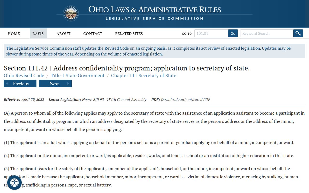
Safe at Home is a practical reminder that public-record access does not override a lawful safety protection.
Lawful use. Use Whitehall block information only for lawful personal, civic, historical, or safety purposes. Ohio laws on menacing by stalking, R.C. 2903.211, and telecommunications harassment, R.C. 2917.21, prohibit using records to harass, threaten, or intimidate another person.